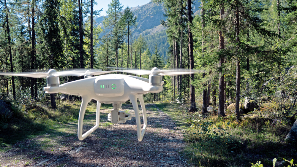
Emesent, a drone autonomy company spin-out from Australian federal research agency, Commonwealth Scientific and Industrial Research Organisation (CSIRO), has developed software that allows autonomous drones to create mapping of underground spaces such as mines and tunnels. “Hovermap” is a LiDAR-based system deployed on drones to enable 3D simultaneous localization and mapping (3D SLAM), providing a complete solution for inspection and mapping of underground mines, transport tunnels and utility tunnels. Hovermap will automate the collection of data in underground areas too dangerous or difficult for people to survey and navigate. The technology will be deployed in GPS-denied environments without a human controller to create 3D maps, record gas readings, videos and images. Emesent states that the technology could also be applied to underground rail and road transport, telecommunications, and disaster response.
“Hovermap enables the mining industry to safely inspect inaccessible areas of underground mines, while improving the type and quality of data collected to unlock new insights,” said Dr Stefan Hrabar, co-founder and CEO of Emesent. “This includes comparing the stope design to the actual post-blast shape to detect over-break and under-break, identification of geotechnical structures and accurate post-blast volume reconciliations. The data we gather improves a mine’s productivity and provides a better understanding of conditions underground, all without sending surveyors and miners into potentially hazardous areas.”
Emesent plans to make Hovermap generally available in December of this year. The company is also working with CSIRO’s Data61 to compete in the US Defense Advanced Projects Agency’s (DARPA) new Subterranean Challenge which aims to develop innovative technologies to rapidly map, navigate, and search underground environments.