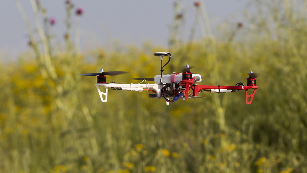
Researchers at MIT are working on using a fleet of drones to collaboratively search for missing people under dense forest canopies. They equipped each autonomous quadrotor drone with laser-range finders for position estimation, localization, and path planning. As the drone flies around, it creates an individual 3D map of the terrain. The LIDAR system used help it recognize unexplored and already-searched spots, so it knows when it’s fully mapped an area.
The drones are programmed to identify multiple trees’ orientations by calculating the angles and distances between trees to identify clusters.
“Drones can use that as a unique signature to tell if they’ve visited this area before or if it’s a new area,” said author Yulun Tian, a graduate student in the Department of Aeronautics and Astronautics (AeroAstro) at MIT.
For search missions the drones could incorporate object detection to identify a missing hiker. Once located, the drone would tag the hiker’s location on the global map for use in planning a rescue mission.
“Essentially, we’re replacing humans with a fleet of drones to make the search part of the search-and-rescue process more efficient,” said Tian.
In tests conducted in a forested area within NASA’s Langley Research Center, each drone mapped an approximately 20-square-meter area in about two to five minutes and collaboratively fused their maps together in real-time. The drones also performed well across several metrics, including overall speed and time to complete the mission, detection of forest features, and accurate merging of maps.
In the ground station, robotic navigation software called “simultaneous localization and mapping” (SLAM) — which both maps an unknown area and keeps track of an agent inside the area — uses the LIDAR input to localize and capture the position of the drones. This helps it fuse the maps accurately creating a map with 3-D terrain features.
One limitation for practical use is that the drones still must communicate with an off-board ground station for map merging. In their outdoor experiment, the researchers had to set up a wireless router that connected each drone and the ground station. In the future, they hope to design the drones to communicate wirelessly when approaching one another, fuse their maps, and then cut communication when they separate. The ground station would then only be needed to monitor the updated global map.