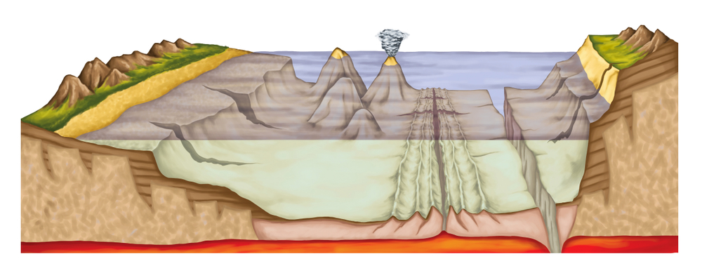
The Naval Research Laboratory (NRL) has issued a sources-sought notice for the Ocean Dynamics and Prediction Engineering and Software Development project. The overall mission of the project is to gain an improved understanding of the seabed geologic processes, and geospatial enablement of meteorology and oceanography (METOC) processes that are involved in order to create new environmental models for nowcast/forecast systems.
The software will process and analyze data from ocean and atmospheric sensors to determine and predict conditions over the ocean. The data will be collected from deep ocean basins, marginal and semi-enclosed seas, and coastal regions, and will include coupled air-ocean wave processes, coupled ocean/acoustic processes, geology, and seabed processes. Near-real time underwater sensors or remote sensing at high resolution will be used for the collection. Ocean dynamics modeling incorporating computational numerical techniques and data assimilation approaches will be used so that the data can be assimilated into 3-D models and multi-horizon extended forecasts.
The forecasting information will be used for Navy missions such as: anti-submarine warfare; search and rescue; amphibious landings; mine and special warfare; sea bottom warfare; and mission planning. NRL researchers will use the information in remote sensing exploitation; sea surface temperature; ocean and atmosphere coupling and processes; regional ocean circulation; arctic sea ice; ocean acoustics; environmental impacts on sensors; marine geology, geophysics and geodetics with emphasis on understanding seabed geologic processes; geospatial analysis and visualization; and program management.
The NRL is seeking industry partners who can: develop high-quality data; generate numerical models, algorithms, test cases, and software. They must also be capable of: using remote sensing data to determine sea surface temperatures; forecasting arctic sea ice; modeling ocean acoustics throughout the water column; predicting environmental impacts on sensors; conducting network-centric sensor analysis for mine warfare; understanding seabed geologic processes; performing geospatial analysis and visualization; and conducting geospatial environmental analysis and visualization.
